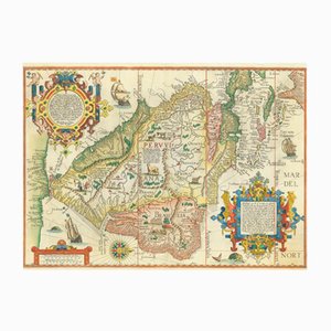
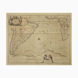
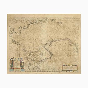
Antique Map of Delineation of All the Coasts of the Entire Southern Part of America by Jan Huyghen Van Linschoten, 1596
¥1,608,782
You are now following Wall Decor. You can manage alerts in your account settings.
You have unfollowed Wall Decor.
Antique Map of Delineation of All the Coasts of the Entire Southern Part of America by Jan Huyghen Van Linschoten, 1596
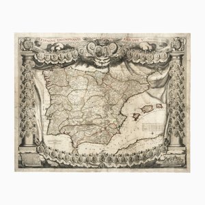
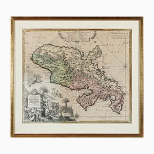
Antique Map of Spain Triumphant Under the Reign of Philip V by Nicolas De Fer, 1704
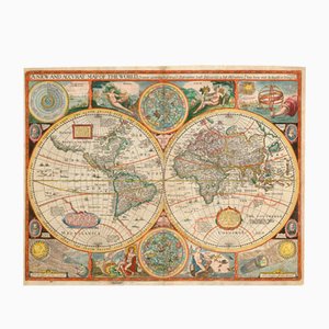
Antique Map of the World after J. Speed, 1651
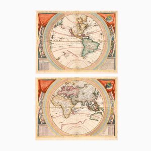
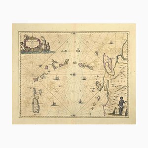
Antique 17th Century World Maps in the style of Coronelli, Set of 2
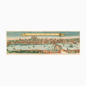
Antique Map of London by Gabriel Gualdo Priorato, 1675
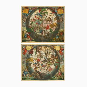
Antique Celestial Hemispheres Charts by Andreas Cellarius for Schenk & Valk, 1708, Set of 2
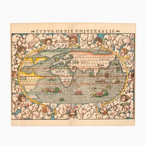
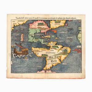
Typus Orbis Universalis Map by Sebastian Munster, 1552
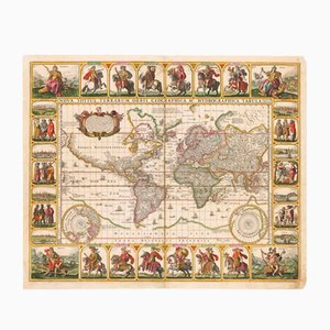
Antique Nova Totius Terrarum Orbis Geographica ac Hydrographica Tabula Claes Map by Janszoon Visscher, 1652
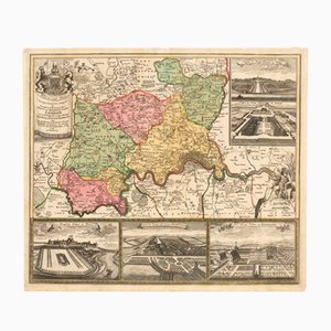
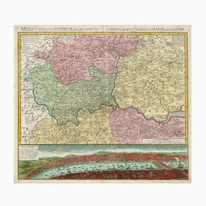
Map of the Environs of London with Inset Views of Royal Palaces by Johann Baptist Homann, 1710
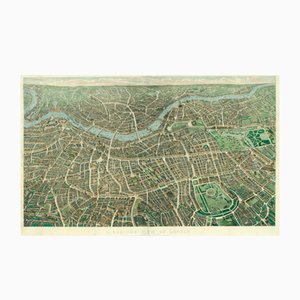
Antique Balloon View of London Map As Seen from Hampstead by John Henry Banks for Banks & Co. & Effingham Wilson, 1851
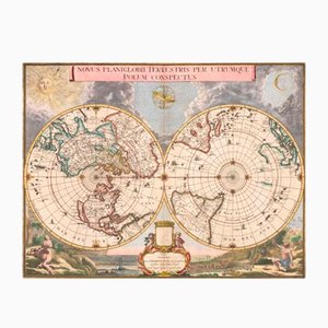
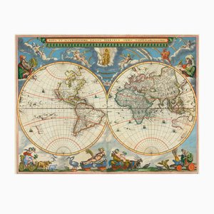
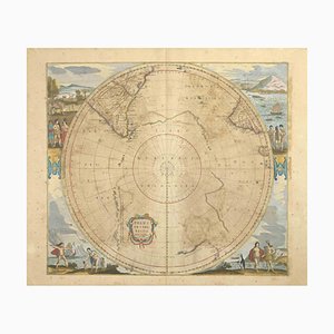
Antique Double Hemisphere Map of the World on a Polar Projection by J. Blaeu, 1695
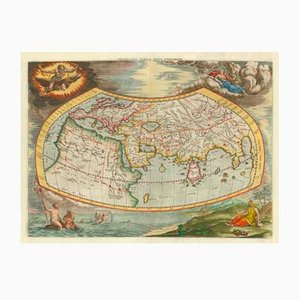
Antique Map of the Ptolemaic World by Gerard Mercator, 1700
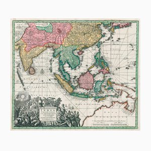
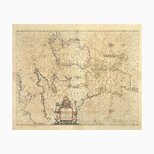
Matthäus Seutter, Antique Map India Orientalis (South East Asia), 1730, Engraving
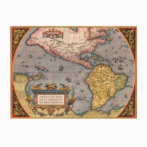
Antique America Sive Novi Orbis Nova Descriptio Map by Abraham Ortelius, 1598
Antique Environs of London Map by Homann Heirs, 1741
Antique Nova et Accuratissima Totius Terrarum Orbis Tabula Map by Johannes Blaeu, 1662
Antique First Map of the Continent of America by Sebastian Munster, 1558
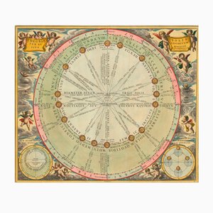
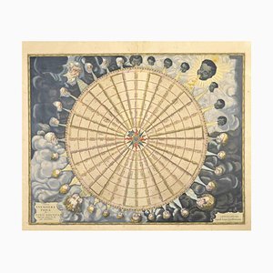
Antique Chart of the Motions of the Sun Through the Skies by Andreas Cellarius for Schenk & Valk, 1708
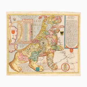
Antique Ecce, Quibus Hispaniar. Rex Philipp. Belgium (The First Leo Belgicus) Map by Michael Eytzinger, 1587
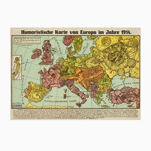
Antique Serio-Comic Map of Europe on the Brink of World War I by Lehmann-Dumont, 1914
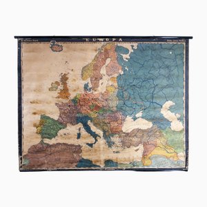
Large Early 20th Century School Wall Map Europe by Dr. Haack for Perthes, Gotha, 1890s
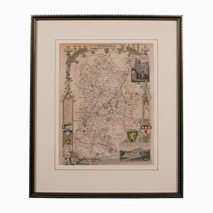
Antique English Framed Nottinghamshire Map
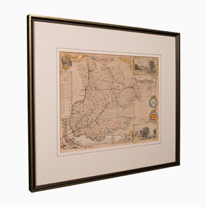
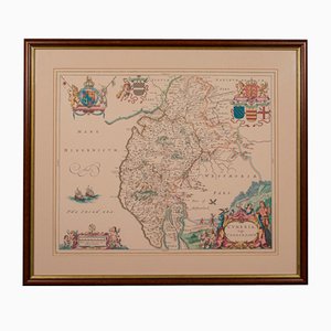
Antique English Victorian County Map
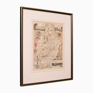
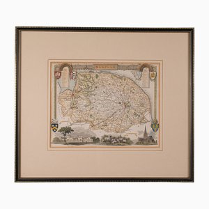
Antique English Framed Leicestershire Map
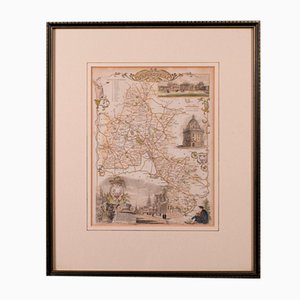
19th Century English Oxfordshire Country Map
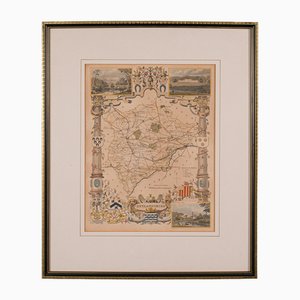
Antique English Rutlandshire County Map, 1860s
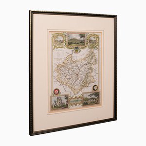
Antique English Framed County Map
Martinique, Original Early Map: Representation la plus nouvelle et exacte De L'Ile Martinique, la premiere des Iles Del' Amerique Antilles...,1741, Original Hand Colored Copperplate Engraving
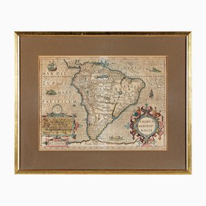
America Meridionalis, Early Map of South America by Gerard Mercator and Jodocus Hondius, 1610, Original Hand Colored Copperplate Engraving
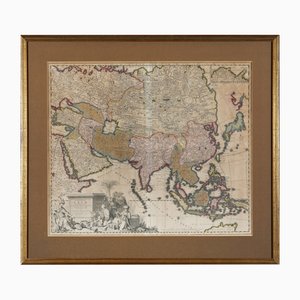
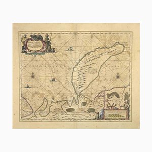
Early Map of Asia: Exactissima Asiae Delineatio in Praecipuas Regiones Original Hand Colored Copperplate Engraving by Carel Allard, 1694
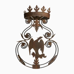
Antique Wrought Iron Sign with Eagle, 18th Century
Wooden Trade Sign, 1950s
Large Early 20th Century Fir Entrance Door
18th Century Hand Colored Engraved Map of Germany S.R.I Circulus Rhenanus
18th Century Map of North America, United States, and Asia by Bowen Thomas and Charles Cooke
Early 20th Century Pop Art Advertising Sign March Hare Alice in Wonderland

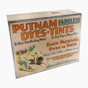
19th Century Countertop Advertising Display for Putnam Dyes-Tints
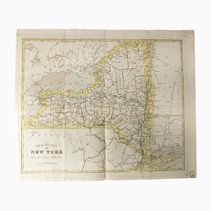
Antique Hand Colored Map of New York State from 1842
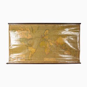
Large Scrolled Map of the World by Philips, 1918
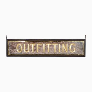
Antique Victorian Mirrored Outfitting Sign from Harris Tweed, 1900s
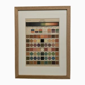
Illustrated Encyclopedia Color Plate, 1900, Color Engraving
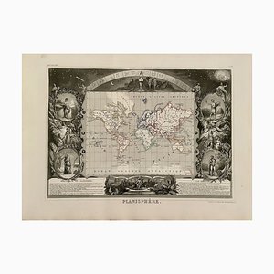
Planisphere World Map, 1849
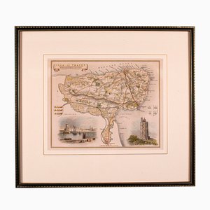
Antique English Isle of Thanet Lithography Map
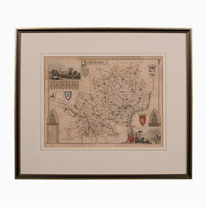
Antique Framed Lithographic Map of Hertfordshire, England
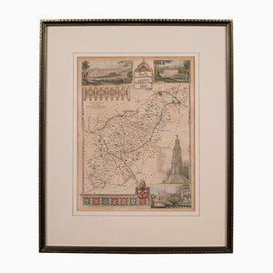
Antique Framed Lithographic Map of Northamptonshire, England, 1860
Antique Framed Lithographic Map of Bedfordshire, England
Antique Geographical Maps of the French-German War, Set of 4

Antique English Chart of Devon
Antique English Coaching Road Map
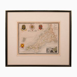
Antique English Lithography Map of Cornwall, 1850s
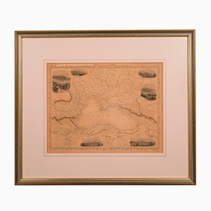
Antique English Lithography Map of Black Sea
Antique English Lithography Map
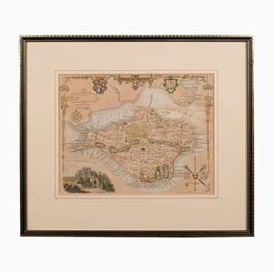
Antique English Lithography Map of Isle of Wight
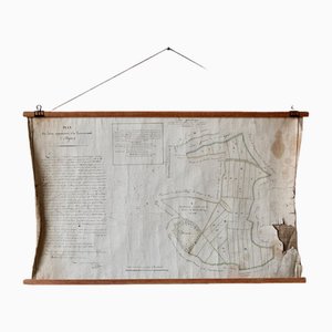
French N°2 Cadastral Plan, 1933
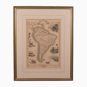
Antique English Lithography Map of South America
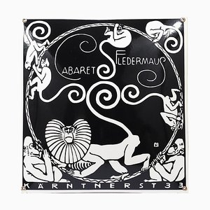
Art Nouveau Moriz Jung Cabaret Bat Enameled Advertising Sign by Josef Hoffmann, Vienna, 1960s
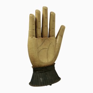
Large French Toleware Glove Makers Shop Trade Sign, 1890s
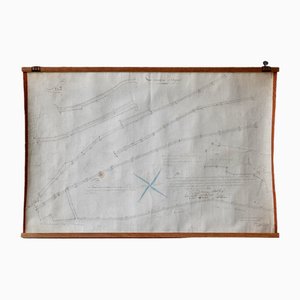
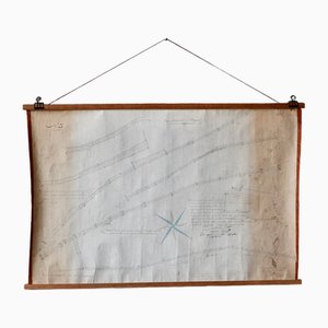
Plan d'Etupes N°3 Chart, 1833
French Plan of 1788, 1825
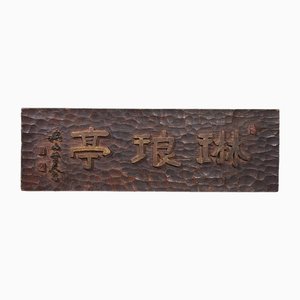
Japanese Wooden Kanban Restaurant Sign
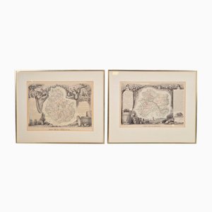
Antique Levasseur La Marne & Cote d'Or Wine Maps, 1852, Set of 2
Japanese Asahi Glass Shop Sign in Wood, 1920s
Old Map of Etupes, 1833
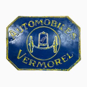
Vermorel Automobiles Sign in Metal, France, 1920s
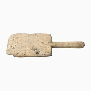
Vintage Washing Paddle in Wood
Early Enamel London Transport Bus Stop Sign with Provenance, 1940s

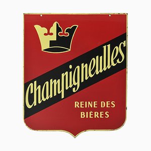
Double-Sided Enamel Sign from Champigneulles
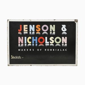
Enameled Sign from Jenson & Nicholson
North of France Map, 1710s
Johannes Janssonius, Map of Zeilan, Etching, 1650s
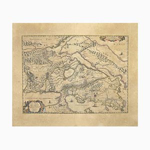
Johannes Janssonius, Map of Macedonia, Etching, 1650s
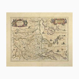
Johannes Janssonius, Thessalia Map, Etching, 1650s
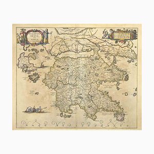
Johannes Janssonius, Peloponnesvs (Greece), Etching, 1650s
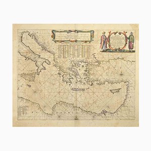
Johannes Janssonius, Maris Mediterranei, Etching, 1650s
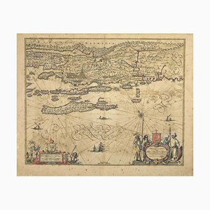
Johannes Janssonius, Map of Dalmatia, Etching, 1650s
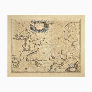
Johannes Janssonius, Map of the Poles, Etching, 1650s
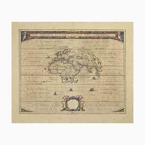
Johannes Janssonius, Orbis Terrarum, Etching, 1650s
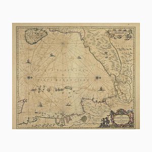
Johannes Janssonius, Gulf of Bengal, Etching, 1650s
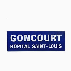
Enamelled Goncourt Hôpital Saint-Louis Sign
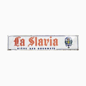
Enameled Advertising Sign from La Slavia
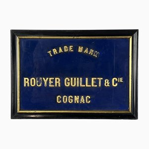
Billboard in Cognac from Rouyer Guillet, 1890s
Johannes Janssonius, Antique Map of Gallia, Etching, 1650s
Johannes Janssonius, Oceanus, Etching, 1650s
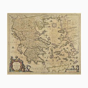
Johannes Janssonius, Antique Map of Greece, Etching, 1650s
Johannes Janssonius, Attica, Etching, 1650s
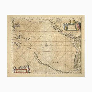
Johannes Janssonius, Antique Map of Mare Pacificum, Etching, 1650s
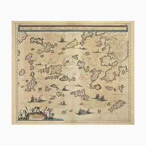
Johannes Janssonius, Antique Map of Archipela Meridionalis, Etching, 1650s
Johannes Janssonius, Antique Map of Mar di Athiopia, Etching, 1650s
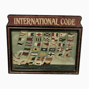
French Hand-Painted International Code of Semaphore Signals, 1890s
Johannes Janssonius, Freti Canalis, Etching, 1650s
Johannes Janssonius, Nova Zemla, Etching, 1650s
Johannes Janssonius, Oceani Borealis, Etching, 1660s
Johannes Janssonius, Polus Antarcticus, Etching, 1650s
Johannes Janssonius, Anemogra Phica, Etching, 1650s
Johannes Janssonius, Barbarga, Etching, 1650s
Johannes Janssonius, S.Juan de Puerto Rico, Etching, 1650s
Trending